Miranjani Trek

Miranjani Trek:

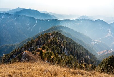
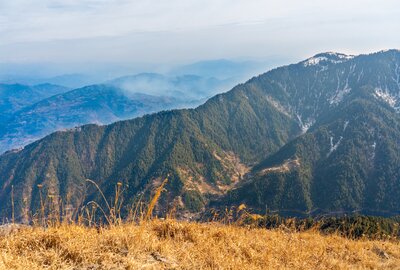
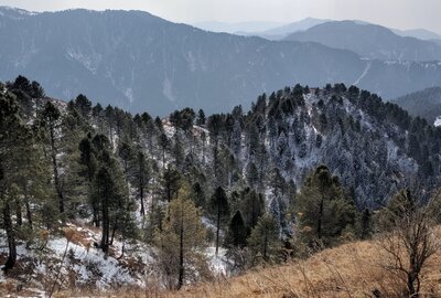
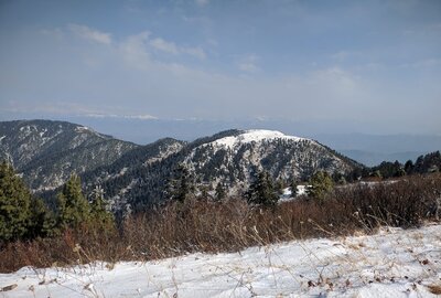
Miranjani is highest peak of Galiyaat region in lower Himalayas at approx. 9700 ft ASL. The trek starts near Nathia Gali which is host to two beautiful one day trekking excursion being Miranjani and Mukshpuri peaks.

Approach to Starting Point:

The trek basically originate from the famous church in Nathia Gali. The road which goes to Governor House ahead of church is the way to follow. Before Governor House, there is a right downward turn. Take that turn and continue to descend. Then comes a T-junction on which right turn leads to Bakot forest while straight carries on as Abshaar road so we go straight from this point. After some distance, another T-junction comes which is actually the starting point of the trek. Here u will see a white hut and right turn is for Khan Kalaan while straight or left goes to waterfall and Namli Maira villages. It is said that on a very clear day, Nanga Parbat can also been seen from the top.

Trek Starting Point Map/Location:

At 2nd T-junction, there are few boards directing towards Khan Kalaan and related projects. There is a white hut and trek starts behind that hut.

Miranjani Top Trek / Hiking Track Length:

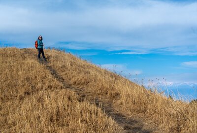
The starting altitude of the trek is about 7650 feet. From here, you will hike to Miranjani Top, elevated at 9660 feet. The total distance from a trek starting point to Miranjani Top is about 5 km on one side. The time to summit this peak is 3 to 3.5 hours for regular trekkers. If you are not addicted to hiking and take much more breaks on the way, it may take 5 to 6 hours. The trek nature is relatively easy, but it will be harder on some points. The last ascend of Miranjani is quite tough, So I will not recommend females with non-trekking experience. A second thing must bring all your trekking gear as the weather will b challenging according to the forecast shoes, raincoat gaiters. I advise you to only go with me if you are well equipped and experienced. And do love & respect your parents if they are alive.

Best Time to Trek Miranjani:

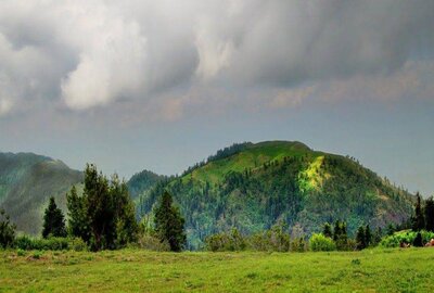
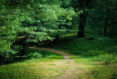
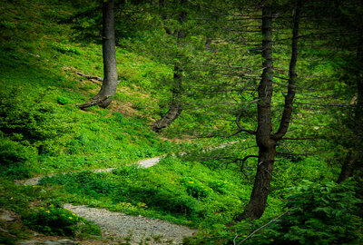
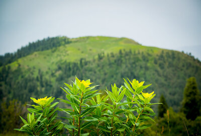
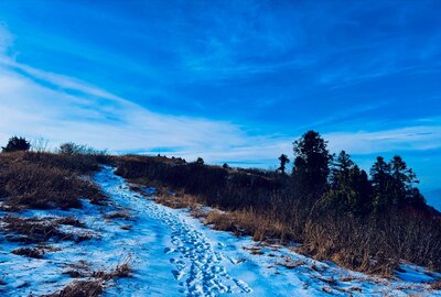
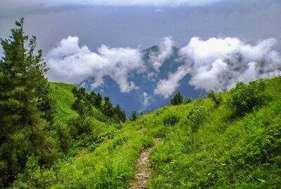
People go there throughout the year, even for winter survival in snow. The trek is full of natural beauty, Natural flora, and wild Forest at its peak in August. It is a very easy trek, especially in the first hour. After the midway open point, the trek climbs at a steeper gradient, but also it is the most remote and beautiful part of the forest, with lots of colorful flowers in August and September. After the climb, you face a shoulder peak of Miranjani called Kuna Danna. You need to take a U-turn towards the upper left and then go back to Miranjani top, the opposite side, and on your back if you are facing Kuna Danna.

Miranjani Top Camping / Hotels / Rest Spots:

There are no camping facilities on the way to Miranjani Top. First of all, Camping is not recommended there due to the leopard area. No hotels are available during the track or at the top. There are 2 open spaces during the trek, which are used to sit and relax, take meals, etc., or camp even if someone plans to spend extra time.

Water Food Availability:

Food and fresh water are unavailable on this trek, so keep a good amount of water bottles with you to last 4-5 hrs. If you want to trek on Miranjani Peak, you should have some snacks.