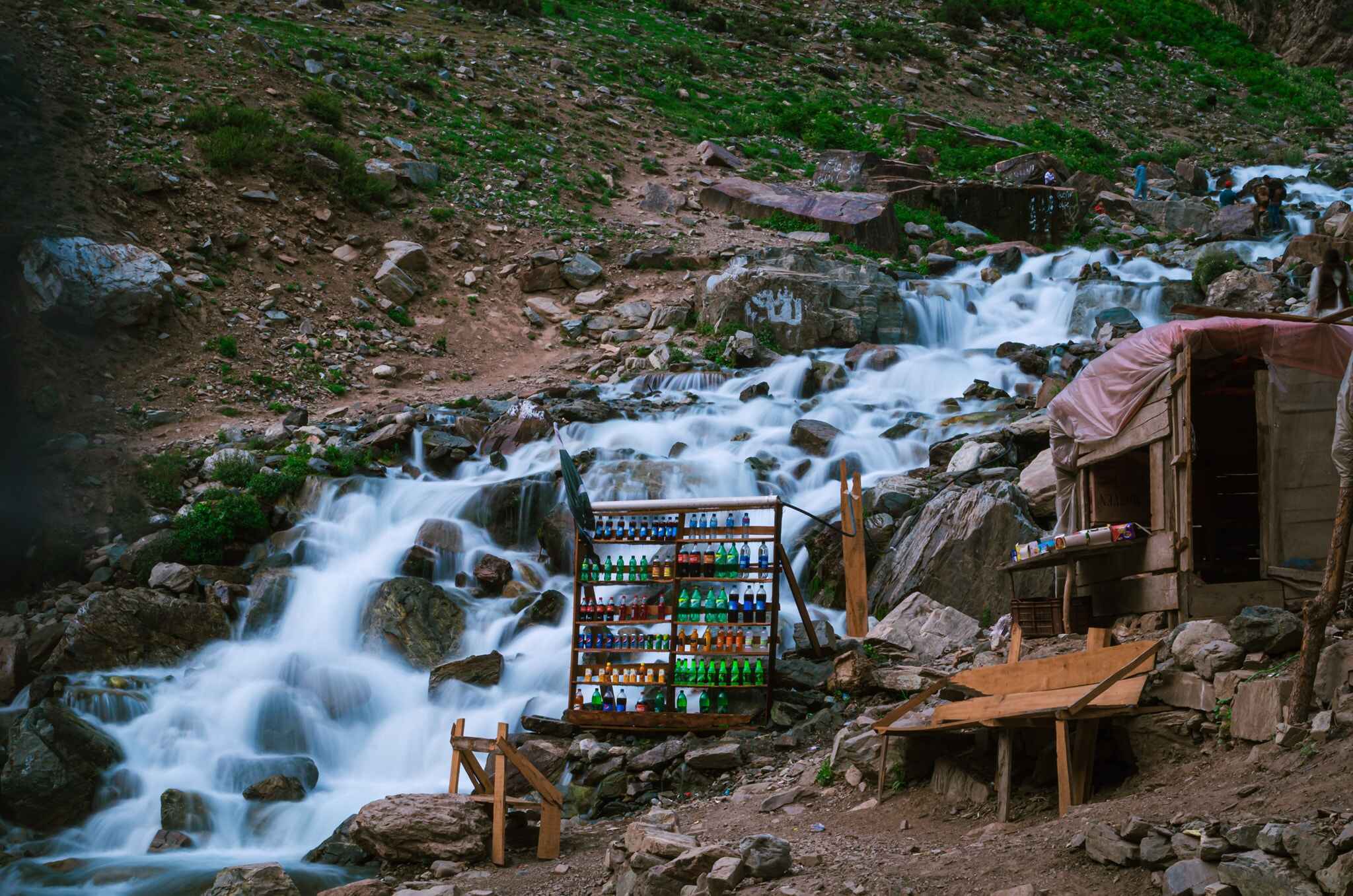
More About Kalam Valley Swat:
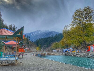
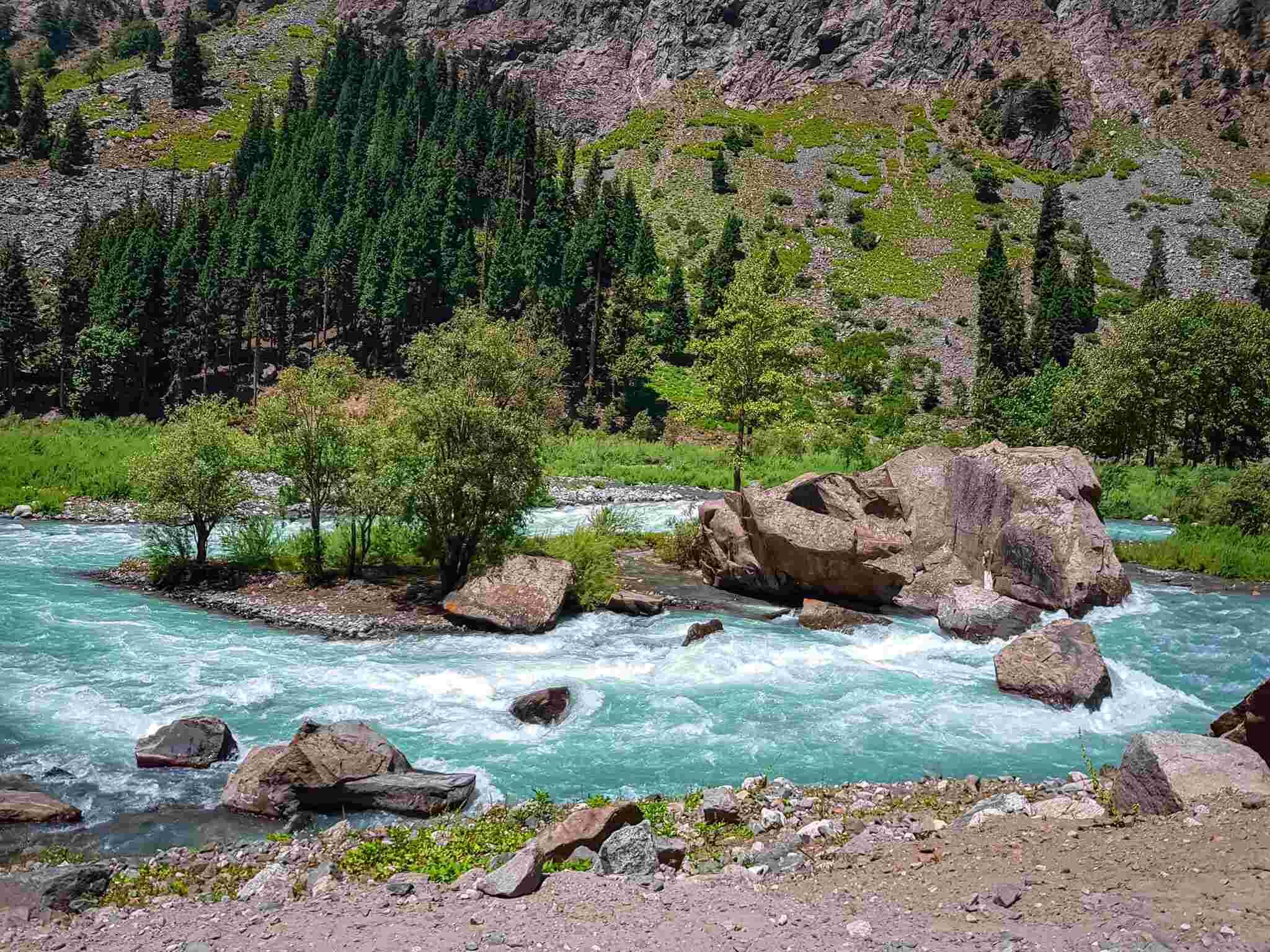
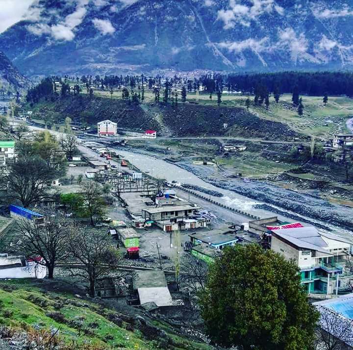
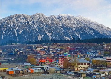
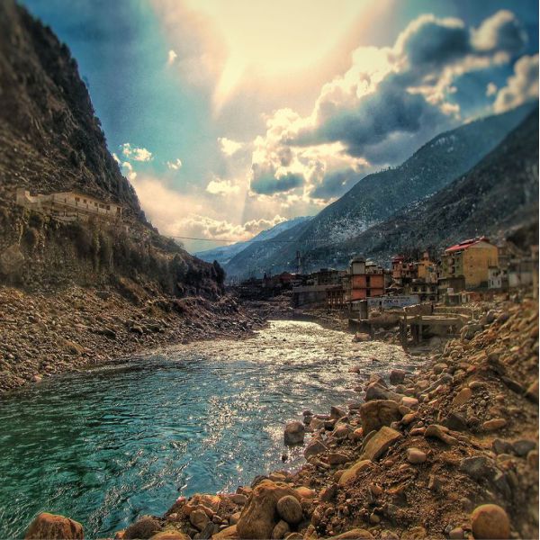
Kalam (also known as Kalami, in Pashto and Urdu: کالام) is a valley situated in the Swat Kohistan area of the Swat District in Khyber Pakhtunkhwa province, Pakistan. It is where the Swat River originates due to the merging of two significant tributaries, the Gabral and Ushu rivers.
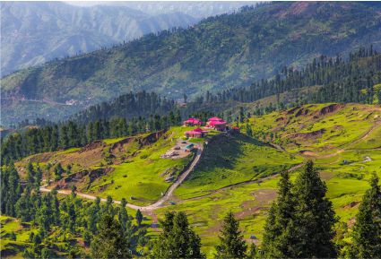
Located 99 kilometers (62 miles) north of Mingora and at an altitude of approximately 2,000 meters (6,600 feet) above sea level, the valley features a plateau that sits above the river and is utilized for agricultural purposes. Several mountains are observable, including Mount Falak Sar, which stands at 5,918 meters (19,416 feet), as well as another unnamed peak that rises to 6,096 meters (20,000 feet), both visible from Matiltan, a valley adjacent to Kalam Valley.
Climate-wise, Kalam has a predominantly temperate and mild climate, classified as Humid continental (Dfa) according to the Köppen climate classification. The average temperature recorded in Kalam is 13.4 °C (56.1 °F), while the yearly rainfall averages around 639 mm (25.16 in). November experiences the least rainfall, with about 15 mm (0.59 in) of precipitation, whereas April is the wettest month, receiving an average of 93 mm (3.66 in).
July is typically the warmest month of the year, with an average temperature of 24.1 °C (75.4 °F). Conversely, January is the coldest month, with an average temperature recorded at 1.5 °C (34.7 °F).


