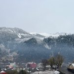
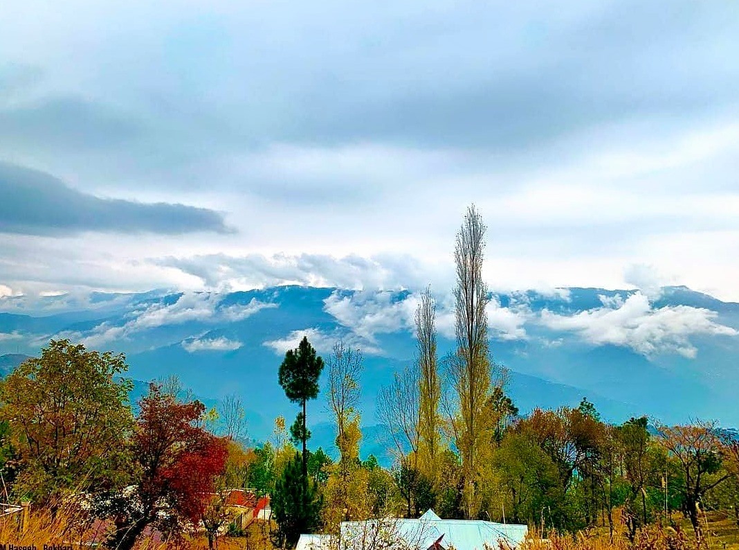
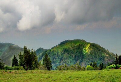
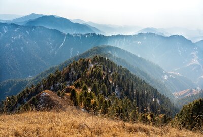
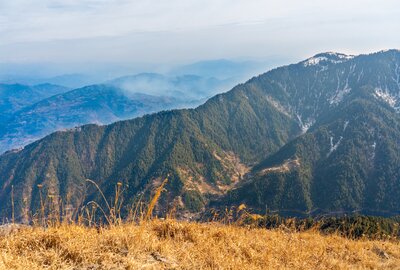
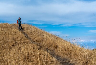
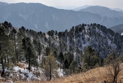
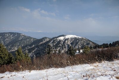
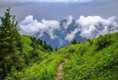
Miranjani is a very good place to visit, and its peak is very high. Miranjani is the highest peak in the Galyat Region, located at an elevation of 2,992 meters (9,816 ft) in Abbottabad District of Khyber Pakhtunkhwa, Pakistan. It is located in the Namli Maira area of Ayubia National Park, 80 kilometers (50 mi) north of Islamabad, in the western Himalayan range. The Miranjani trek starts a few minutes’ drive away from the Governor House in Nathia Gali. The total length of the track is about 4.69 km and has a net elevation of about 600 meters.
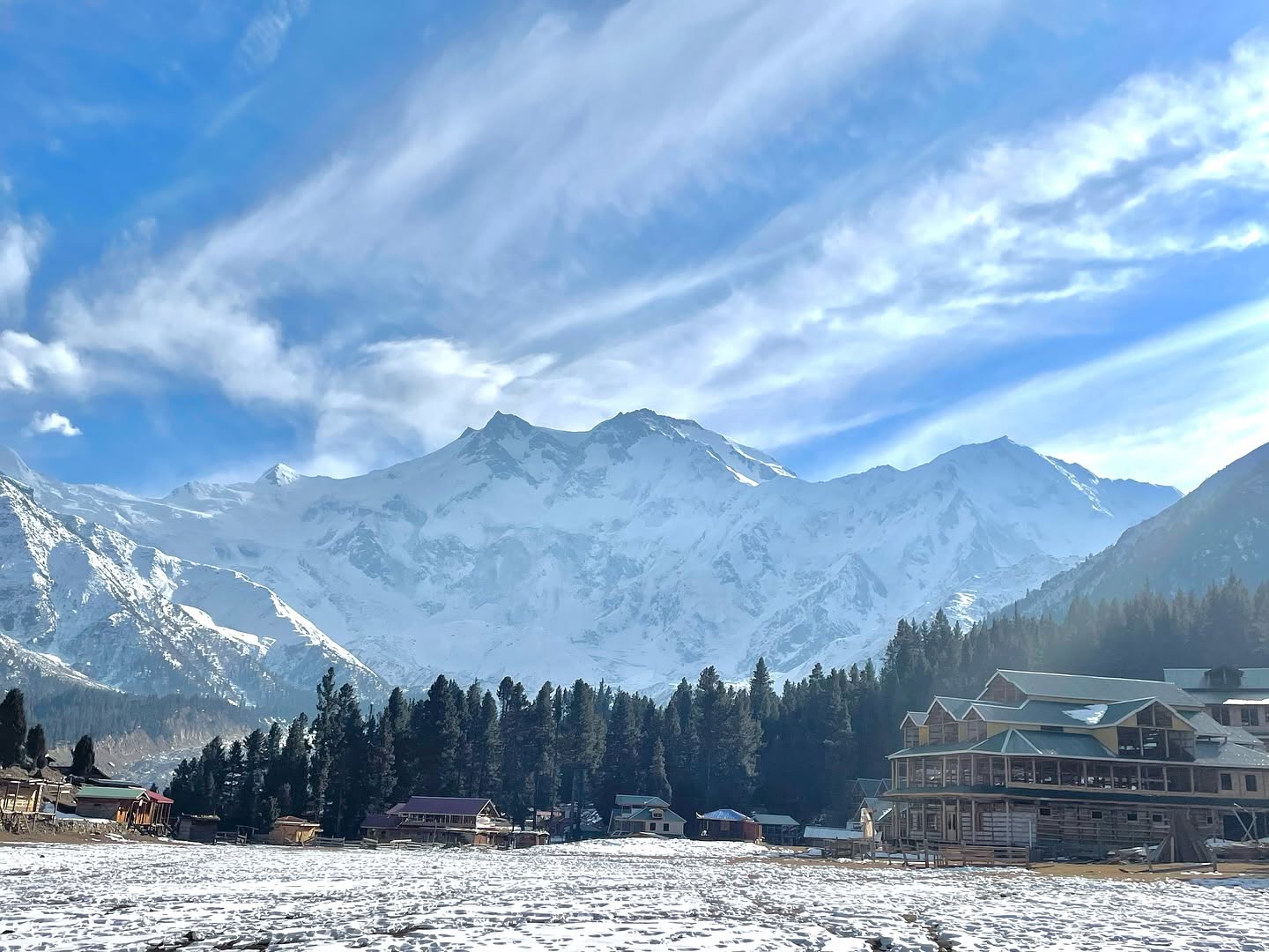
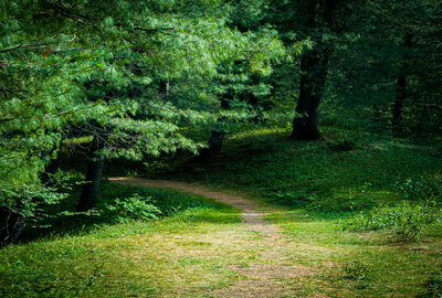
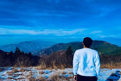
Most of the path is soft dirt, with sparse small rock patches, and is very easy to traverse with little effort. Intermediate to expert trekkers should be able to do it in 1 hour 15 mins to 2 hours. Beginners should also have no trouble and can complete it in 2-3 hours. The path to the peak is canopied with tall trees and is abundant in greenery. Nathia Gali, Mushkpuri Peak, and Azad Kashmir are easily visible from the top. On a clear day, even Nanga Parbat, the ninth-highest mountain in the world, at a displacement of 166 km or more than 400 km, can be seen shining with its snow-clad peaks.
| Details | Information |
|---|---|
| Hike Difficulty | Easy |
| Miranjani Track Length | 5 km (8.7 mi) |
| Miranjani Top Hiking Time (One-way) | 2 - 3 hours |
| Elevation Gain | 614 m (2,014 ft) |
| Miranjani Peak Height | 2,971 m (9,747 ft) |
| Water Availability | None |
| Trailhead | Miranjani Trek Starting Point, Namli Maira |
| Trailhead Altitude | 2,357 m (7,733 ft) |
| Guide | Usually available from near the Trailhead |
| Porters | Usually available from near the Trailhead |
| Car Parking | Available at trailhead |
The trek originates from the famous church in Nathia Gali. The road to the Governor House ahead of the church is the way to follow. Before the Governor’s House, there is a right downward turn. Take that turn and continue to descend. Then comes a T-junction: a right turn leads to Bakot forest, while straight continues as Abshaar road, so we go straight from this point.
After some distance, another T-junction comes, which is actually the starting point of the trek. Here u will see a white hut, and the right turn is for Khan Kalaan, while straight or left goes to the waterfall and Namli Maira villages. It is said that on a very clear day, Nanga Parbat can also be seen from the top.
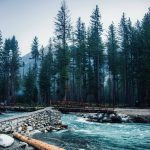
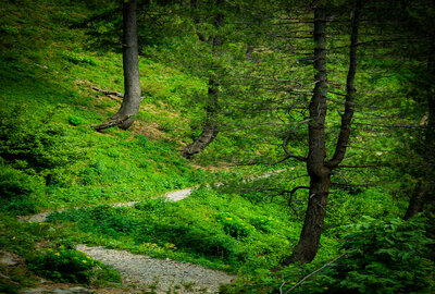
At the 2nd T-junction, a few boards are directed toward Khan Kalaan and related projects. There is a white hut, and the trek starts behind that hut. Meranjani Trek is a feast for hiking lovers and even beginners. Tall blue pines blanket the whole trek, and the voices of crickets make the journey more exciting. The last stretch of the trek is a bit harsh and elevated, with sharp rocks, but good sports shoes and a stick may help.
The starting altitude of the trek is about 7650 feet. From here, you will hike to Miranjani Top, at an elevation of 9660 feet. The total distance from the trek starting point to Miranjani Top is about 5 km on one side. The time to summit this peak is 3 to 3.5 hours for regular trekkers. If you are not addicted to hiking and take many more breaks on the way, it may take 5 to 6 hours.
Remember: Don’t forget to take enough water, chocolates, and other light eatables.
The trek’s nature is relatively easy, but it will be harder at some points. The last ascent of Miranjani is quite tough, so I will not recommend it to females with no trekking experience. A second thing: you must bring all your trekking gear, as the weather will be challenging according to the forecast: shoes, raincoat, gaiters. I advise you to only go with me if you are well equipped and experienced. And do love & respect your parents if they are alive.
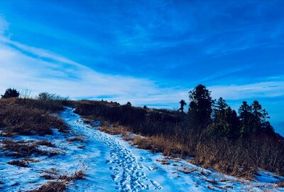
People go there throughout the year, even for winter survival in snow. The trek is full of natural beauty, Natural flora, and wild Forest at its peak in August. It is a very easy trek, especially in the first hour. After the midway open point, the trek climbs at a steeper gradient, but it is also the most remote and beautiful part of the forest, with lots of colorful flowers in August and September. After the climb, you face a shoulder peak of Miranjani called Kuna Danna. You need to take a U-turn towards the upper left and then go back to Miranjani Top, the opposite side, and on your back if you are facing Kuna Danna.
There are no camping facilities on the way to Miranjani Top. First of all, Camping is not recommended there due to the leopard area. No hotels are available during the trek or at the top. There are 2 open spaces during the trek, which are used to sit and relax, take meals, etc., or camp if someone plans to spend extra time.
Food and fresh water are unavailable on this trek, so keep a good amount of water bottles with you to last 4-5 hrs. If you want to trek on Miranjani Peak, you should have some snacks.
Pack a light meal, biscuits, and water. Take your snacks with you, esp plenty of water, biscuits, umbrella, etc. A hat or a cap and sunblock will come in handy because at the height (2900 meters) the sun can be harsh on a summer day. The weather can change all of a sudden, so be prepared. A walking stick can also be very useful for support.
Miranjani is an excellent site to visit for those who are nature-loving and want to go hiking. You can reach the hiking place quite easily by following the Namli Mera road. You will find a small hut and a small wildlife office.
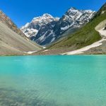
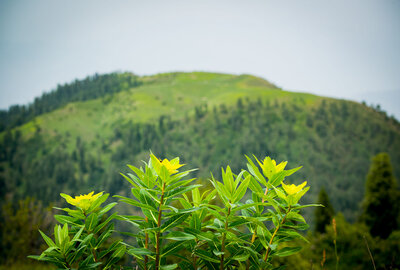
It’s a safe, beautiful, and breathtaking scenic track with hundreds of flowers and, of course, insects too. The top of Miranjani is the ultimate beauty one can imagine, surrounded by many hilltops, with clouds coming around, and when the weather clears, it’s awesome all around the top. At the top is a pool, and you should reach there for a greater view of the chain of mountain tops around.
The park has different types of plants at each elevation. In the lower areas, mixed broadleaf forests are dominated by several oak species (Quercus leucotricophora, Q. dilatata). These oaks form a dense canopy that helps a wide variety of plants grow underneath.
Higher up, conifer trees become more common. Blue pine (Pinus wallichiana) forms tall forests with open spaces below, creating some of the most memorable parts of the trail.
Rhododendron (Rhododendron arboreum) blooms in March and April, turning parts of the trail into tunnels of red and pink flowers. Many people visit to see this beautiful display.
Medicinal plants are common here and well known to local communities. These include Berberis species, Aconitum, and several other Himalayan herbs used in traditional medicine.
Because the park is protected, wildlife has returned in numbers that make seeing animals a real possibility, not just a hope.
Leopard: Leopards live here, but they are rarely seen. Sometimes, you might spot their tracks. Recent conservation surveys (2025) confirm that the park has a healthy leopard population.
Himalayan Black Bear: These bears are seen more often than leopards. They usually move along the ridge below the summit early in the morning or late in the afternoon, so hikers sometimes spot them from a distance. Always give bears plenty of space and never approach them.
Barking Deer (Muntjac): You are more likely to hear these animals than see them. Their unique alarm bark is a familiar sound in the Ayubia forest.
Yellow-throated Marten: These animals are active during the day and are sometimes seen crossing the trail.
Birds: More than 200 bird species have been recorded in the park. Some highlights are Koklass Pheasant, Kalij Pheasant, several types of woodpeckers (including the Himalayan Woodpecker), many warblers, and raptors that use the ridge’s rising air. If you hike early in the morning, you’ll see the most bird activity.
The trail, if it can be called one, is highly overrated. The track is not maintained at all, with sharp edges of large stones protruding out, and at places the loose stones on the track can cause serious tripping. The track is dirty and littered with horse dung and trash left behind by some people with no civic sense. There are no trash bins and no resting spots during the arduous climb. There are no signposts indicating the distance to the top. The trail should be developed into a world-class attraction before people are lured to it. If properly developed, it can be a great national treasure attracting people from all over the world and promoting tourism in the area.
Miranjani Peak is special in Pakistani trekking. It is easy enough for beginners to finish, but still rewarding for experienced trekkers who often come back. Its location near Islamabad also means it is simple to plan a trip here.
The mix of protected forest, real summit views, and diverse wildlife makes reaching the Galiyat’s highest point a memorable experience. First-time trekkers often surprise themselves with what they can do. Experienced trekkers find the views and forest so good that they return in different seasons.
2026 is an excellent time to visit Miranjani. The trails are getting better, Nathia Gali has more places to stay, and Ayubia National Park’s protected status keeps the area’s nature in great shape.
Whether you are new to mountain hiking, a parent bringing children, a photographer looking for summit views, or someone from Islamabad wanting real wilderness without a long trip, Miranjani has something for you. Wake up early, put on your boots, and let the trail inspire, challenge, and reward you—just as it has for generations of Pakistani trekkers.
WhatsApp us