More About Babusar Top Naran:
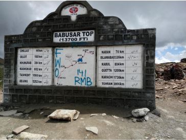
Babusar Pass, also known as the Babusar Region (Urdu: درہ بابوسر), stands at an elevation of 4,173 meters (13,691 feet) and is a mountain pass located in Pakistan at the northern end of the 150 km (93 miles) long Kaghan Valley, connecting it to Chilas via the Thak Nala along the Karakoram Highway (KKH). Babusar Top, which is the highest accessible point in the Kaghan Valley by car, serves as the connection between Khyber Pakhtunkhwa and Gilgit-Baltistan.
Road Condition and Difficulty Level
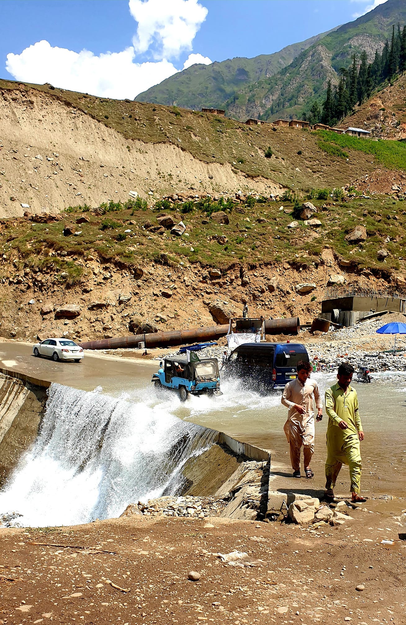
This route is considered one of the more hazardous ones in Pakistan, with numerous accidents reported each year in the mountainous area. The primary cause of these accidents is vehicle brake failure, often due to the inexperience of drivers navigating the steep terrain. Originally referred to as Babur Top, the name reflects that Mughal emperor Babur traveled through this region in the early 16th century, but it is now commonly called Babusar Top.
Climate of Babusar Top
Climate-wise, the Kaghan Valley experiences summers from May to September, typically seeing maximum temperatures of 11°C (52°F) in May, with a minimum of 3°C (37°F). From mid-July until the end of September, the road north of Naran remains open to Babusar Pass. However, travel is restricted during the monsoon and winter months.
Road Connectivity
The Kaghan area has good road connectivity to Islamabad and Peshawar. During winter, heavy snowfall and severe conditions often lead to the closure of the Pass, causing travelers to use the Karakoram Highway to reach the northern regions of the country.
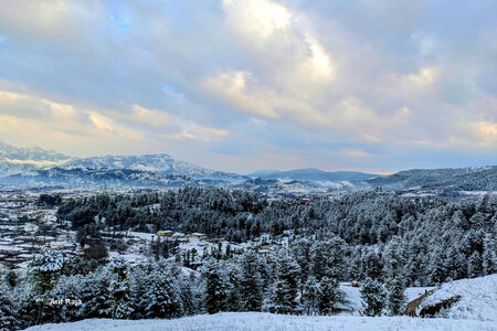
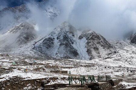
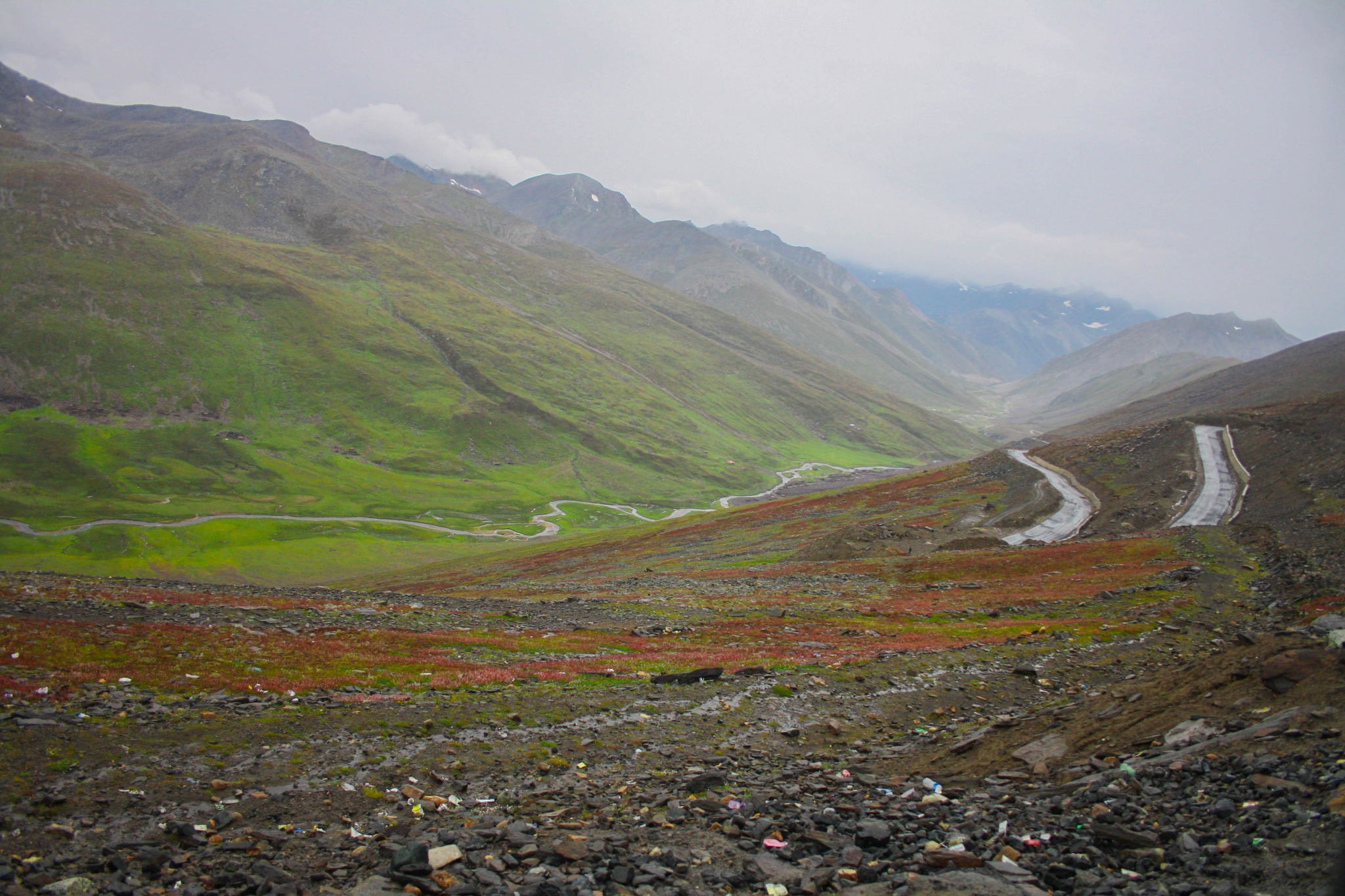
Babusar Top Landscape Features
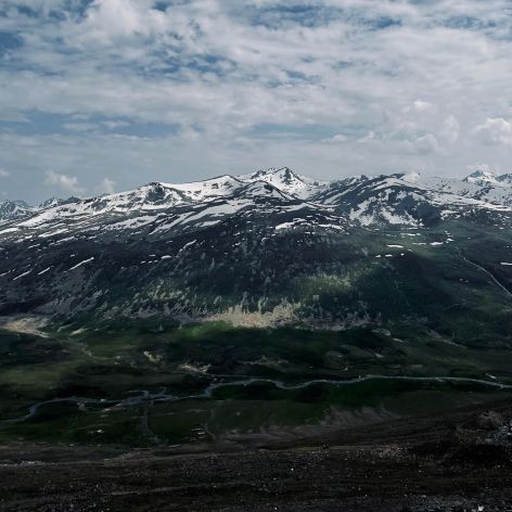
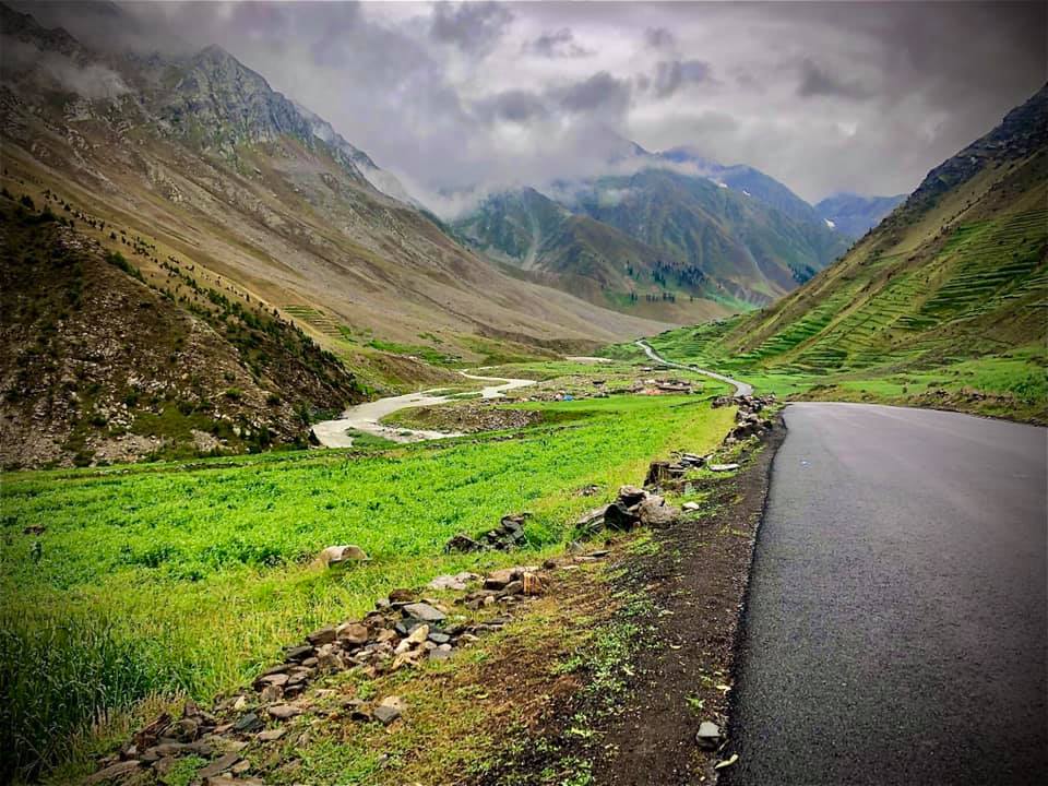
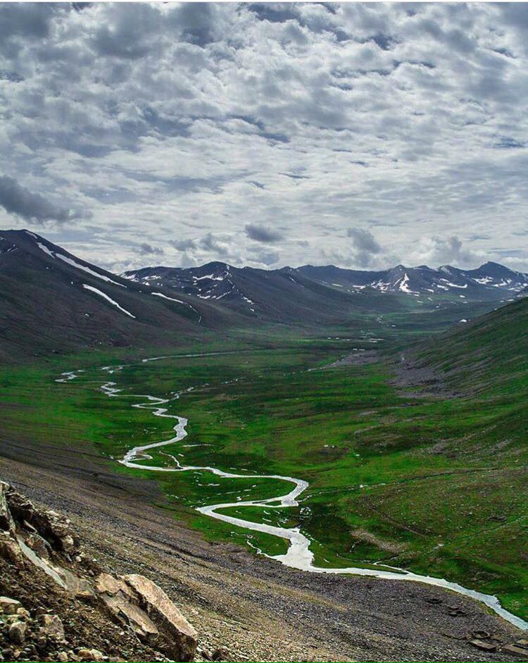
Geographically, the mountain ranges entering the Mansehra District from Kashmir are part of the extensive Himalayan system. Within the Kaghan Valley, this mountain system achieves its highest peaks, including Babusar Top. This range borders the right side of the Kunhar River and includes Malika Parbat, which rises over 17,000 feet and is the tallest in the valley.
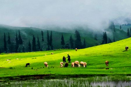
The mountains are also home to grasslands where Gujjars and other nomadic communities migrate in summer to graze their sheep, goats, and other livestock. On the northern side, the mountains are continuations of the same range as the Kaghan Mountains.
This range begins to diverge from the eastern side at Musa ka Musalla, a peak that reaches approximately 13,500 feet, running along the northern end of the Bhogarmang and Konsh valleys and creating a ridge to separate the two valleys.
Like Kaghan, these higher slopes are typically characterized by dense forests, although extensive logging has led to these thick forests now mostly being found in hard-to-reach areas. You can join our Naran Kaghan Tour Packages to explore this beautiful destination.
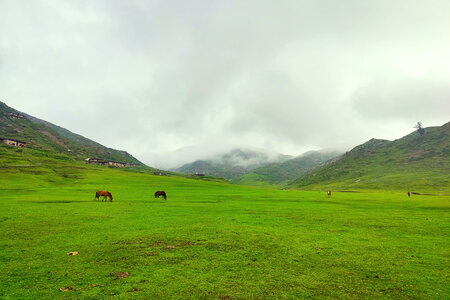
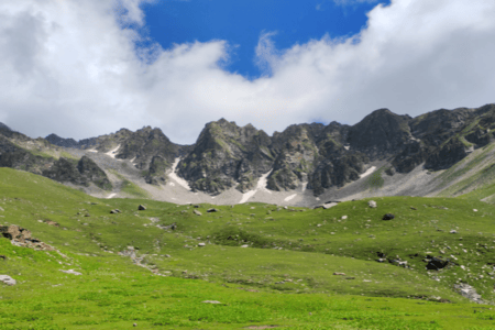
Malika Parbat is the topmost peak of the Babusar region, visible exclusively from Babusar Top. From this vantage point, visitors can admire the vast plateaus, lush green meadows, rushing streams, and the snow-capped mountains of Kashmir that beautifully enhance the scenery.
Flora & Fauna at Babusar Top
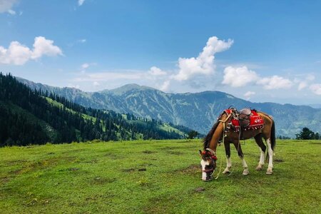
Babusar Top is a destination for nature enthusiasts, offering a variety of plant and animal species. One can spot snow pigeons, owls, snow cocks, and hawks among the picturesque pine and oak forests nearby. While sheep and wild goats are abundant in this area, farming them presents significant challenges due to the severe weather and high altitude at Babusar Top.


