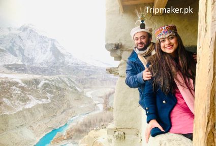
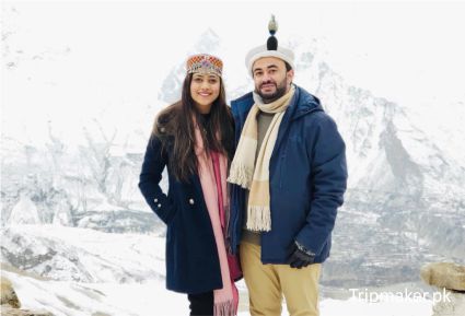
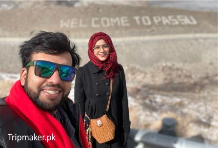
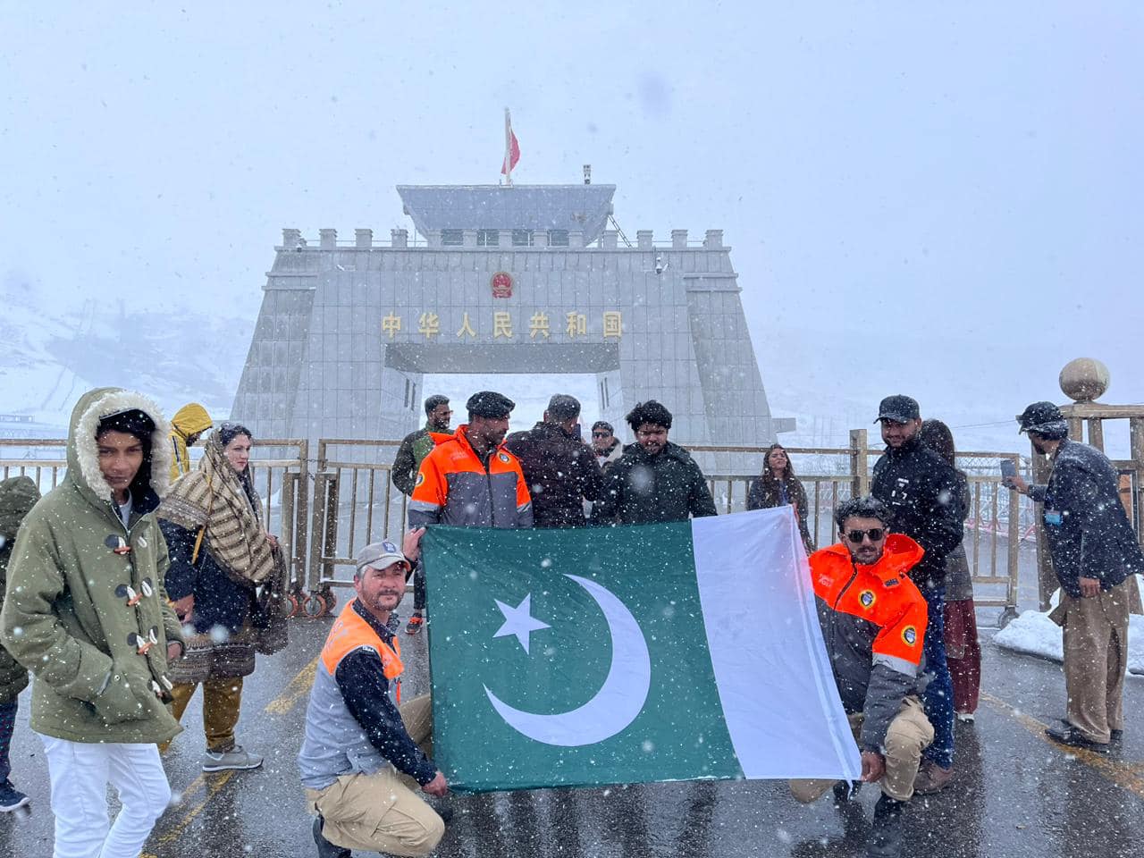
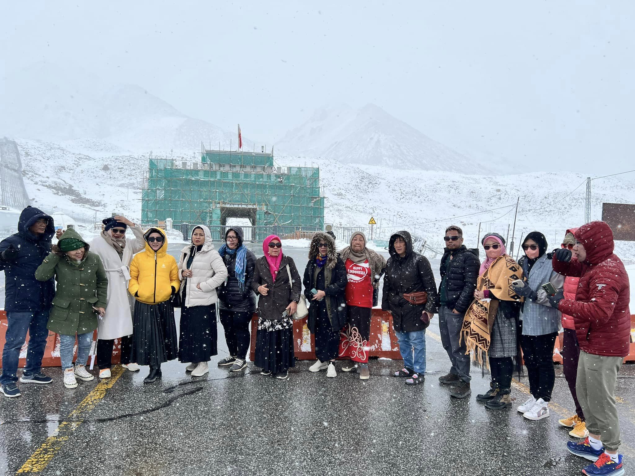
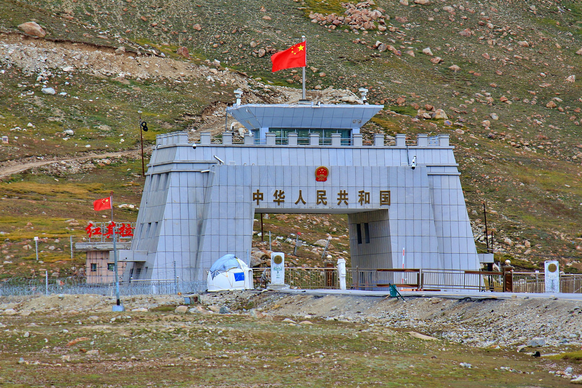
More About Khunjerab Pass:
Khunjerab Pass (Chinese: 红其拉甫口岸; Urdu: درہ خنجراب listenⓘ; Uyghur: قونجىراپ ئېغىزى) is a mountain pass located in northern Pakistan, standing at an elevation of 4,693 meters (15,397 ft) above sea level. It is situated in the Karakoram range and holds considerable strategic importance on Pakistan’s northern border, specifically in the Hunza and Nagar Districts of Gilgit-Baltistan. Furthermore, it lies along the southwestern border of China, within the Xinjiang region.
Adjacent to Khunjerab Pass is Mutsjliga Pass, which reaches a height of 5,314 meters (17,434 ft) and can be found at approximately 36.97374°N 75.2973°E.
Etymology
The name “خنجراب” in the local Wakhi language translates to ‘waterfall house.’ It originates from two components, where “خون”-“Khun” indicates house and “جراب”-“Jerab” refers to a creek that arises from a spring or waterfall.
Notability
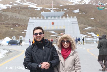
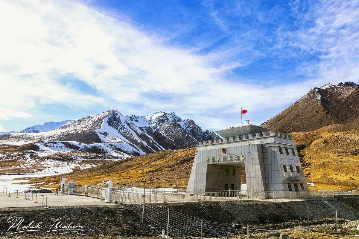
The Khunjerab Pass is notable for various reasons, including being the highest paved international border crossing in the world and the greatest elevation point along the Karakoram Highway. The road construction through this pass was finished in 1982, and it has since replaced the earlier unpaved Mintaka and Kilik passes as the main route across the challenging Karakoram Range.
The choice to route the Karakoram Highway through Khunjerab Pass was made in 1966, with China suggesting the steeper Khunjerab Pass over Mintaka due to its increased vulnerability to air strikes.
On the side administered by Pakistan, the pass is located 42 km (26 mi) from the National Park station and checkpoint in Dih, 75 km (47 mi) away from the customs and immigration post in Sost, 270 km (170 mi) from Gilgit, and 870 km (540 mi) from Islamabad.
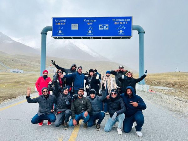
On the Chinese side, the pass marks the southwestern endpoint of China National Highway 314 and is situated 130 km (81 mi) from Tashkurgan, 420 km (260 mi) from Kashgar, and 1,890 km (1,170 mi) from Urumqi. The entry point into China is found 3.5 km (2.2 mi) along the road from the pass in Tashkurgan County.
The long and relatively flat pass frequently remains snow-covered during winter, typically leading to road closures for heavy vehicles from November 30 to May 1 and for all vehicles from December 30 to April 1. However, this is not absolute, as late snowfall driven by climate change may allow for road access even in winter months. Depending on snowfall amounts, the road can take anywhere from days to weeks to be cleared.
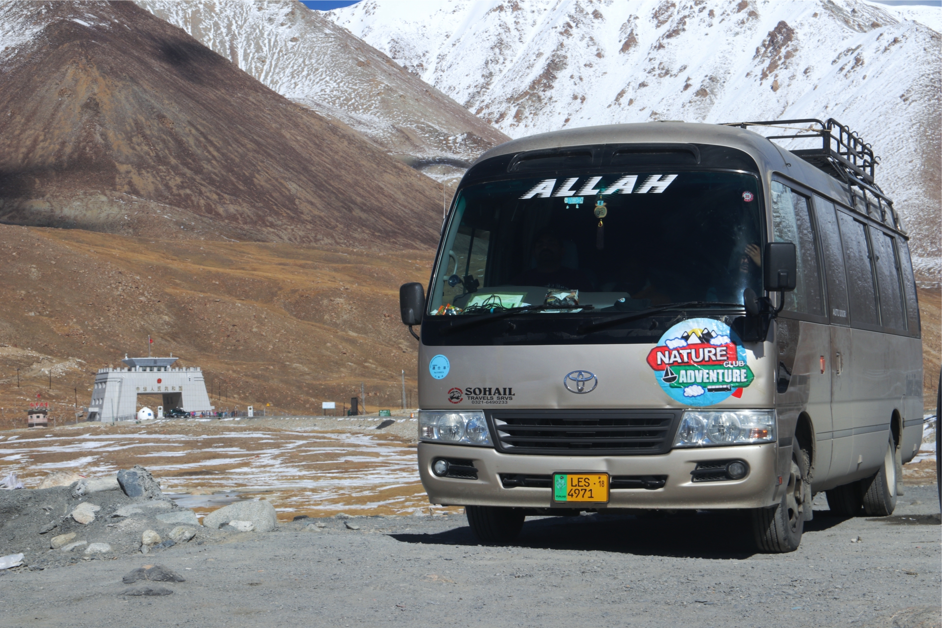
Since June 1, 2006, a daily bus service has been available for travel across the border from Gilgit to Kashgar, Xinjiang.
This border is notable for the change in traffic rules, as vehicles traveling in the left-hand traffic zone (Pakistan-administered Gilgit-Baltistan) shift to right-hand traffic (China) and vice versa.


